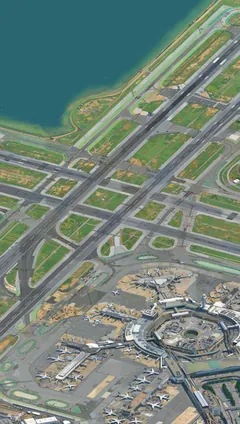
San Francisco International Airport is the largest airport in the Bay Area; the City of San Francisco owns it, but it sits in San Mateo County. In the picture its crossing runways reach out over the bay, with the terminals and parked planes below.One spot on a pixel-art map of the whole Bay Area that you can zoom around. Facts from Wikipedia.
San Francisco International Airport
San Mateo County, Peninsula
isometricsf.com